· While searching for a GIS solution that allowed live field editing and multi-user access, we discovered a major gap in the market:
· Most systems were static.
· Changes required scheduled reviews.
Field updates were delayed.
Growth depended on vendor timelines.
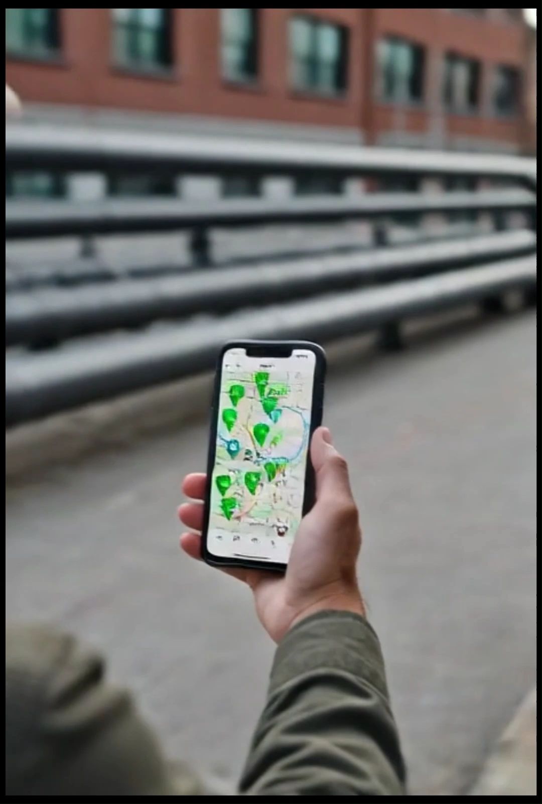
· We implemented a solution that allowed real-time asset updates, live collaboration, and full visibility across city-owned infrastructure.
· After demonstrating the system to neighboring municipalities, the response was immediate. Cities wanted access to the same capability — along with structured setup, training, and long-term support.
· Cypress River Design was formed to meet that need.